San Francisco’s Crosstown Trail is an epic 17 mile walk that explores the whole city, from the southeast to the northwest corners. It includes some great views and transits some some pretty wild parks, making it one of SF’s best urban trails. This San Francisco walk is way off the tourist trail and it’s great for someone who wants to mix it up with some cool neighborhoods and lovely nature.
Our guide to San Francisco’s Crosstown Trail will introduce you to the 17 mile walk, and give you three ways to tackle it. We’ve got advice for how you can break it into smaller sections, public transportation information and our favorite stops.
San Francisco Crosstown Trail FAQ
Here are a few commonly ask questions regarding the Crosstown Trail.
How Was the Crosstown Trail Developed?
While this trail has been adopted by SF’s Open Space plan, the Crosstown Trail was actually the brainchild of enthusiastic volunteers. The route was defined in 2018. It connects a series of existing trails (such as the Bay Area Ridge Trail and the Lands End Trail) with urban segments and some new routes.
How Long is the Crosstown Trail?
The full trail is 17 miles, but you can easily chunk it up into smaller segments. Our advice for how to do that is below.
How Long Does it Take to do the Trail?
This trail has hills…and views…and pretty scenery…and places to stop and eat. If you take the trail at leisure (and you should!), it will take approximately 8.5 hours to walk the full route, with stops.
Are There Way Markers?
No. Since this is a downhome operation, there isn’t official trail signage for the trail. The organization offers a PDF of a paper map, which sounds old school, but it’s useful for understanding where you are in context with the rest of the city. They also have guided instructions on the Outer Spatial app and turn by turn written instructions on the website.
For my part, I used a combo of the paper map and the All Trails guide, which is my go-to for all hiking, urban or otherwise.
Where Does the Hike Start & End?
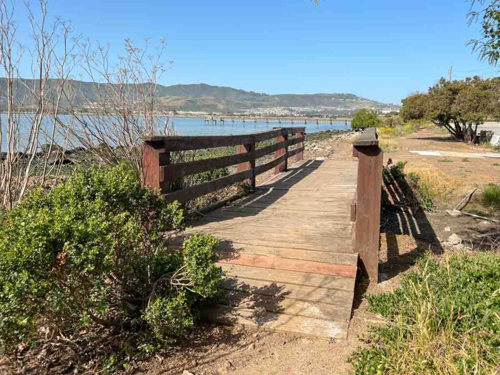
The hike starts in the southeast corner of the city at Candlestick Point State Recreation Area, which is one of two state parks in urban SF. The other is Angel Island. The hike ends in the northwest corner at Sutro Baths at the end point of the Lands End trail.
Are There Places to Eat and Use the Restroom?
Yes. There are public bathrooms dotted along the trail, notably in Candlestick Point, McLaren Park and Golden Gate Park. There are cafes and restaurants throughout along the route. But be aware that there are some long sections through parks and quiet residential neighborhoods. So if you are hungry or need to use the bathroom, do so when you have the chance.
Good stops include: Mission Blue Cafe (Visitacion Valley), Glen Park Cafe or Bello Tea & Coffee (Glen Park), Bahn Mi & Boba or Luca Deli (Inner Sunset), Express Pupuseria or Lou’s Cafe (Richmond District) and Beach Chalet (Ocean Beach).
Highlights on the Crosstown Trail
Visitacion Valley Community Greenway
This series of parks, playgrounds and community gardens are a lovely (and lovingly tended) green spot in what is otherwise a densely populated neighborhood.
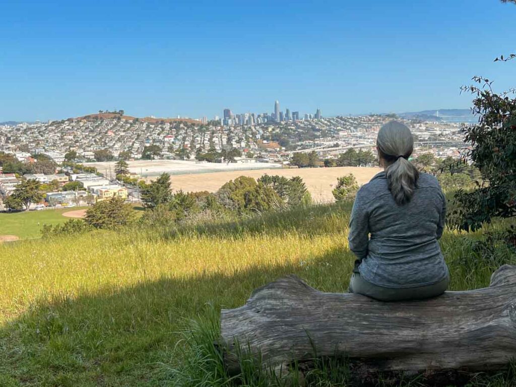
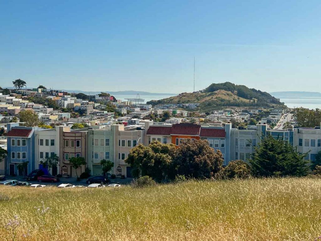
Views of SF from McLaren Park
This 313 acre park is definitely a locals-only secret. And the views from the top provide excellent eye candy of the city skyline and the bay.
Glen Park
Glen Park feels like a bit of the Sierra right in the city. There’s a tangle of trees, cool rock formations, a creek and resident coyotes.
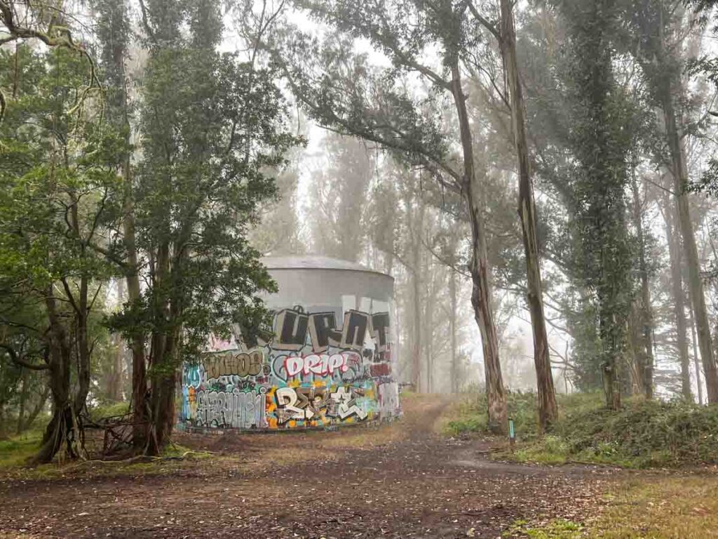
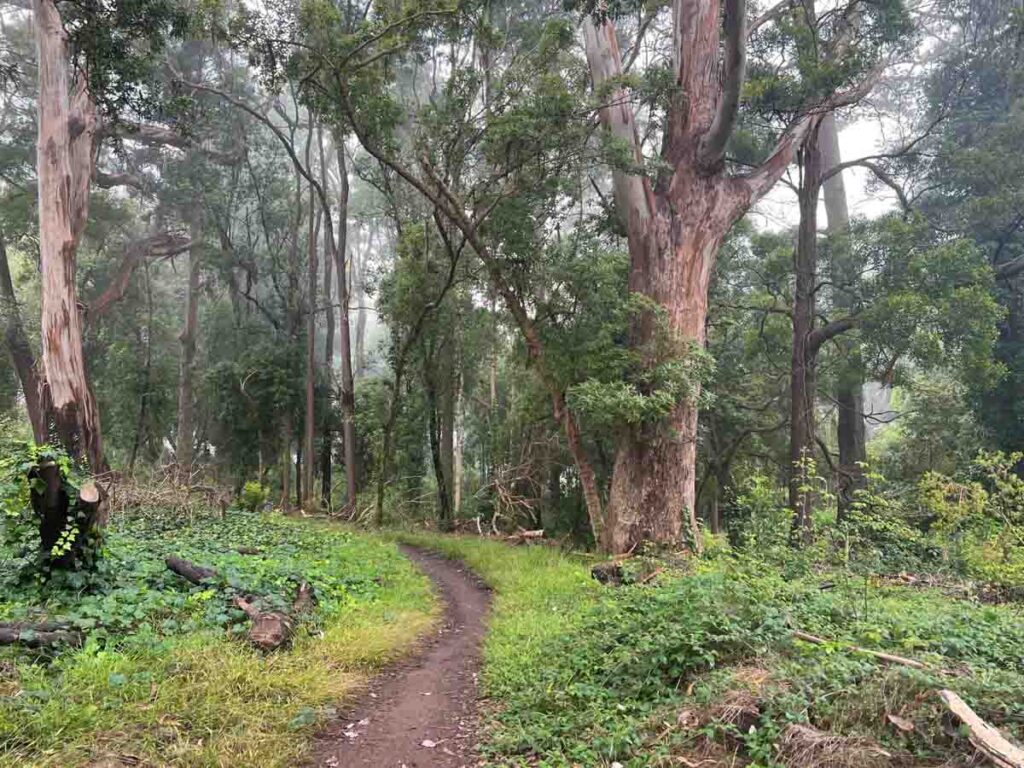
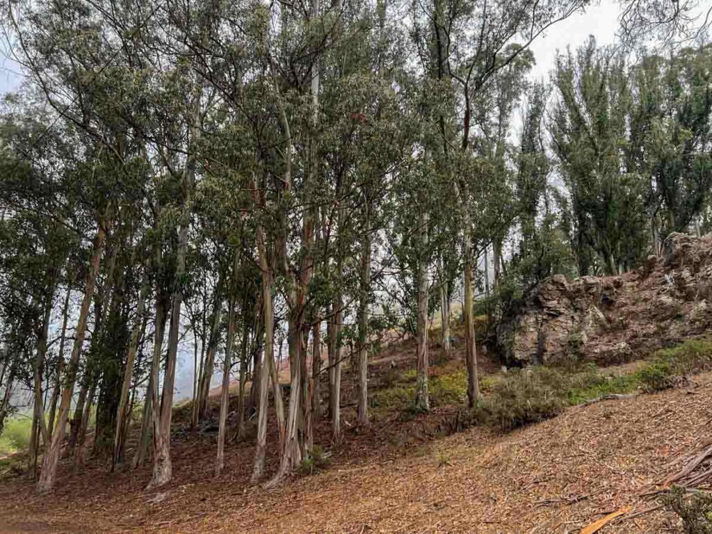
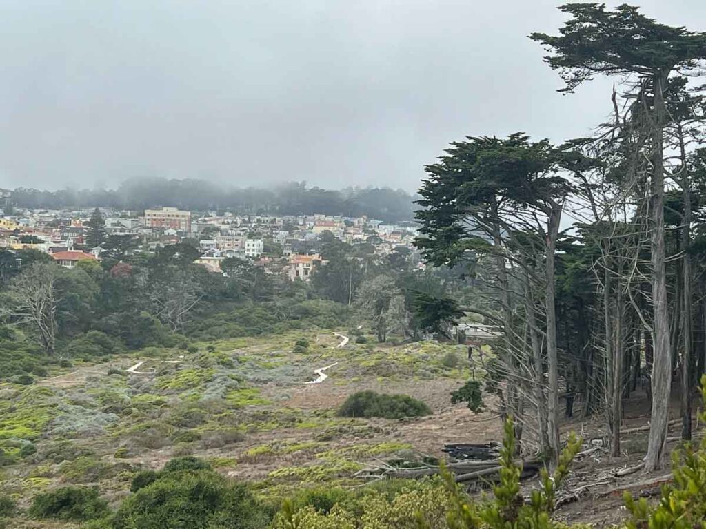
Laguna Honda Hospital Steep Ravine
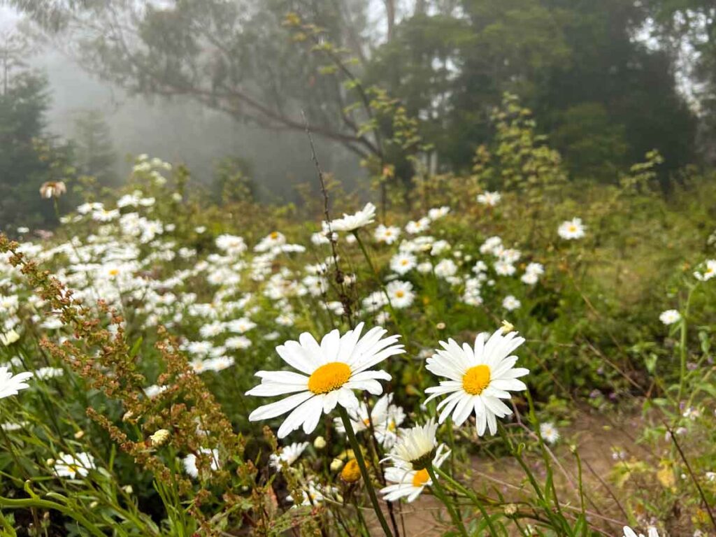
This wild space doesn’t even show up on Google Maps as a park. But the trail team and avid bikers have cut trails through this surprisingly undeveloped patch of land and it’s full of trees and flowers.
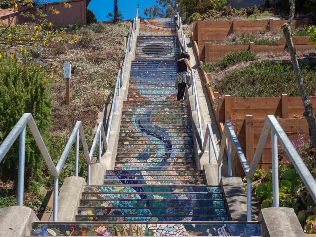
Grandview Park & the Tiled Steps
Grandview is one of the high points onthe trail and it does indeed offer a grand view, as long as Karl the Fog isn’t visiting. There are two lovely staircases nearby which feature mosaic tiles. If you are keen on that sort of thing, we have a whole article on SF’s mosaic staircases.
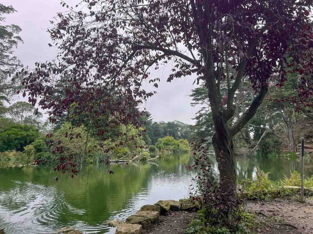
Golden Gate Park & Stowe Lake
Cutting through the park south to north allows you to take in the lovely Stowe Lake and the nearby rose garden.
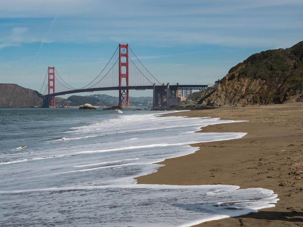
Baker Beach
This is one of the prettiest beaches in San Francisco and it offers great ground-level views of the Golden Gate Bridge.
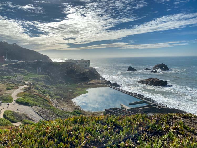
Sutro Baths
These bathhouse ruins feature on our list of offbeat things to do in San Francisco. They were a Victorian experiment in public bathing. At water level, you can creep around the ruins. But up above, there are stunning views of the Pacific. Keep an eye out for migratory whales.
What follows are three ways that you can do the walk. The first is to do it all in one big go, the second breaks it up onto to roughly equal segments and the third is three 5-6 mile segments.
Doing the Full Crosstown Trail
- Distance: 17 miles
- Start Point: Candlestick State Recreation Area
- End Point: Sutro Baths
- Public transportation: Getting there, take the 3rd St MUNI to Paul/Gilman and walk down to Candlestick Point. At the end, you can catch the 38 Geary street bus. This goes downtown with easy transfers to BART or Caltrain.
The Trail in Two Sections
Section #1
- Distance: 8.4 miles
- Start Point: Candlestick State Recreation Area
- End Point: Forest Hill MUNI
- Public transportation: Getting there, take the 3rd St MUNI to Paul/Gilman and walk down to Candlestick Point. At the end, you can catch the Forest Hill Muni toward downtown or the 44/52 bus lines back to Glen Park BART.
Section #2
- Distance: 8.3 miles
- Start Point: Forest Hill MUNI
- End Point: Sutro Baths
- Public transportation: Getting there, take the KT or M lines to Forest Hill or the Glen Park BART and then the 44/52 bus. From Sutro Baths, catch the 38 Geary bus.
The Trail in Three Sections
Section #1
- Distance: 5.3 miles
- Start Point: Candlestick State Recreation Area
- End Point: Glen Park
- Public transportation: Getting there, take the 3rd St MUNI to Paul/Gilman and walk down to Candlestick Point. At the end, you can catch the Glen Park BART to downtown or the Millbrae Caltrain station.
Section #2
- Distance: 5.2 miles
- Start Point: Glen Park
- End Point: Outer Sunset at Judah
- Public transportation: Getting there, take the blue, green or yellow lines to Glen Park BART. At the end, you can catch the N-Judah MUNI line to downtown for BART and Caltrain connections.
Section #3
- Distance: 6.2 miles
- Start Point: Outer Sunset at Judah
- End Point: Sutro Baths
- Public transportation: Getting there, you can catch the N-Judah MUNI line from downtown. At the end, catch the 38 Geary bus.
Explore More of Outdoorsy Bay Area
- Find the best beaches in Half Moon Bay.
- Take a hike in Half Moon Bay.
- Walk across the Golden Gate Bridge.
- Explore (and hike) Angel Island State Park.
- Explore SF’s gold rush days on the Barbary Coast trail.
- 5 scenic hikes in the Presidio.
- Explore one of the 12 National Park sites in and near to SF.
- Take a guided walking tour in SF.